
World
USTR Deletes X Post Depicting PoK and Aksai Chin as Indian Territory

The Office of the United States Trade Representative has deleted a social media post that included a map of India depicting the entire region of Jammu and Kashmir, including Pakistan occupied Kashmir, as well as Aksai Chin, as part of Indian territory. The post was shared last week on X after India and the United States announced details of a bilateral interim trade agreement framework. Along with information about the deal, the USTR account had posted a map of India. In that map, the whole of Jammu and Kashmir, including Pakistan occupied Kashmir, was shown as Indian territory. The Aksai Chin region, which is claimed by China, was also marked as part of India.
The post featuring the map has since been removed from the USTR handle. In earlier instances, maps of India have typically displayed Pakistan occupied Kashmir and Aksai Chin with boundary markings or demarcation lines. However, the map shared by the USTR portrayed the entire Jammu and Kashmir region, including those disputed areas, as fully integrated into India.
New Delhi has repeatedly maintained that the entire Union Territory of Jammu and Kashmir has always been, remains, and will continue to be an integral and inseparable part of India. India also asserts that Aksai Chin forms an integral part of its territory based on historical claims and earlier agreements.
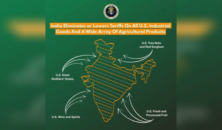
China’s previously released standard map has asserted claims over Arunachal Pradesh, the Aksai Chin region, Taiwan, and parts of the South China Sea. Meanwhile, India and the United States announced on Friday night that they have finalized a framework for the first phase of their bilateral trade agreement. Under this arrangement, both countries will lower import duties on several goods in an effort to enhance two way trade.